
Reynolds 37.5 West
- 0003 State Highway 72, Bunker, Missouri 63629
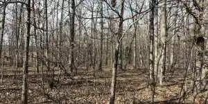
Property Description
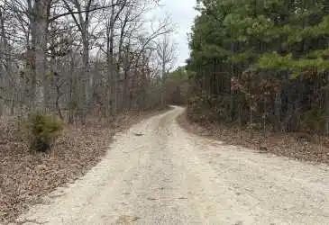
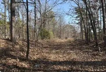
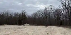
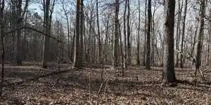
Located five miles east of the little town of Bunker, Missouri this 37.5 acre tract of Reynolds County land provides easy access directly off of State Highway 72. Bordering hundreds of Mark Twain National Forest at the southern boundary creates additional opportunities for outdoor recreation, whether its Deer or Turkey hunting or any other activity that you enjoy in the outdoors. You will find ...
Read The Full Property Description on MissouriLandCo.com
Basic Details
Status:
Active
Property Type:
Recreational
Price:
$110,625
Acreage:
37.50 Acre
Listing ID:
6197
Features
Bedrooms:
0
Bathrooms:
0
Address Map
Street Name:
State Highway 72
Country:
US
State:
MO
County:
Reynolds
City:
Bunker
Zipcode:
63629
Longitude:
W92° 52' 0.2''
Latitude:
N37° 25' 23.3''
Neighborhood
Shopping Center:
30 Minutes
Town Center:
10 Minutes
Hospital:
30 Minutes
Airport:
90 Minutes
School:
10 Minutes
National Forest:
5 Minutes

|
Danny Miller
|